|
||
|
|
||
| |||||||||||||||
|
|
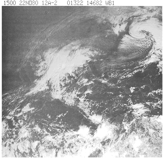
Click here to Order your Radar Equipment Online Cumulus Convective clouds appear similar in both IR and visual pictures. The shapes and patterns that serve to identify cumuliform clouds in the visible picture are usually present in an IR display. In a visual picture, a large cloud mass with imbedded convection has a bumpy, uneven appearance when shadows are present. The same cloud mass viewed in IR has a similar texture, resulting from the contrast between the colder (whiter) tops of the convective clouds and the somewhat warmer (grayer) tops of the main deck of clouds.The strength or vertical extent of cumulus convection appearing in visual pictures can be determined by estimating the relative bright-nesses of the cumulus and by measuring or estimating the sizes of their shadows at a given latitude. Cumulus clouds with the bright-est appearance and the largest shadows extend high into the atmosphere and indicate the presence of vigorous convective activity. The strength of the convection or vertical extent of cumulus clouds in IR imagery is deter-mined from the brightness (radiant temperature) of the cloud. The smallest, lowest, and there-fore, warmest cumulus are gray, while convec-tive clouds having greater vertical development appear brighter (colder). Convective activity is often found ahead of frontal zones and along squall lines in advance of fronts. Of course, convective activity is synonymous with the weather of the tropics, especially the ITCZ. Another area where convective activity becomes apparent in imagery is the line of discontinuity associated with the sea breeze. This phenomenon is the most obvious effect of differential heat-ing. Clouds develop vigorously all along the line separating the warm air of the land and the cooler air of the sea. Some refer to this line of discontinuity as a sea-breeze front. Sequential imagery permits viewing the develop-ment and movement of the convective activity along this line. As the cool sea air pushes inland, thunderstorms frequently develop along this line. As evening approaches and the land cools,
Figure 10-2-6.Cirrus
associated with thunderstorm activity.
convection lessens, and the land breeze comes into |
|
Privacy Statement - Press Release - Copyright Information. - Contact Us - Support Integrated Publishing |